The Man-Machine Interface of MAUVE allows simple and quick mission definition.
It has been designed to be operated by non-roboticians, accepting the definition
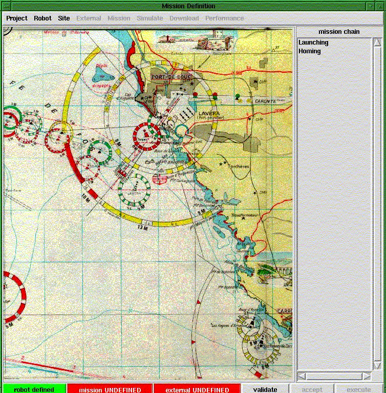
of a mission as a sequence of basic goals. The figure below
shows the graphical window where the mission is defined (the sequence of
actions being displayed shown on the right ). The user can use a scanned
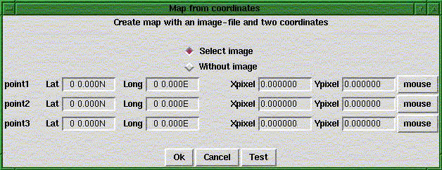
map as a background image, the correspondence between screen coordinates
and geograph
ic coordinates being established by mouse-cliking on three points.
The Interface allows the user to specify which sensors are installed
on the robot (since MAUVE is a reconfigurable vehicle), launching and recovery
position, the position of the acoustic transponders, as well as additional
information concerning the mission site (for instance, expected current
fields on the mission site)

Dialogue with the user is done through pop-up menus. The following is the window used for establishing the correspondence betweenh the screen and world coordinates.

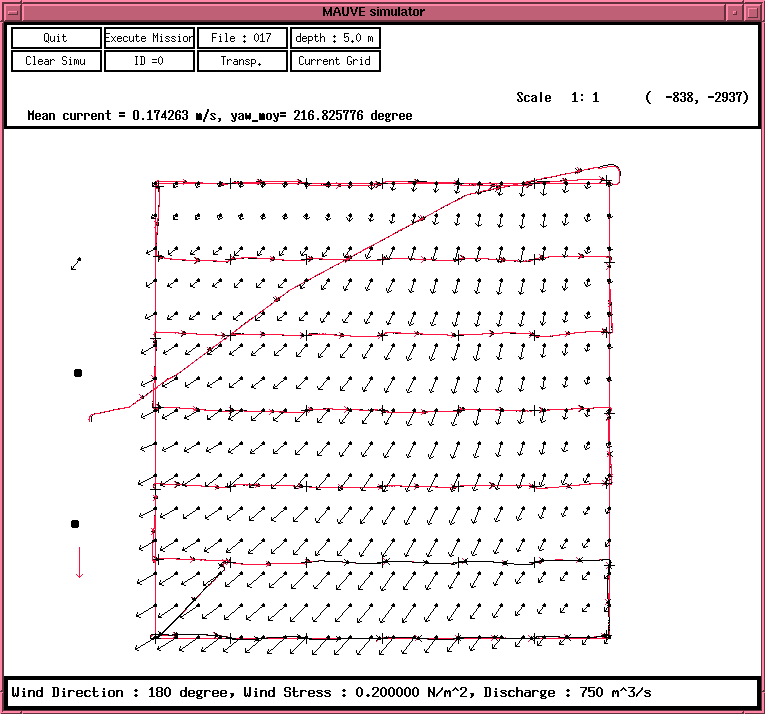
The interface allows simulation of the mission defined by the user, allowing a fast assessment of the performance to be expected. Below is an example of the execution of a grid trajectory in an area for which current field information exists.

If you have comments or suggestions, email me at rendas@i3s.unice.fr